| Campo DC | Valor | Lengua/Idioma |
|---|
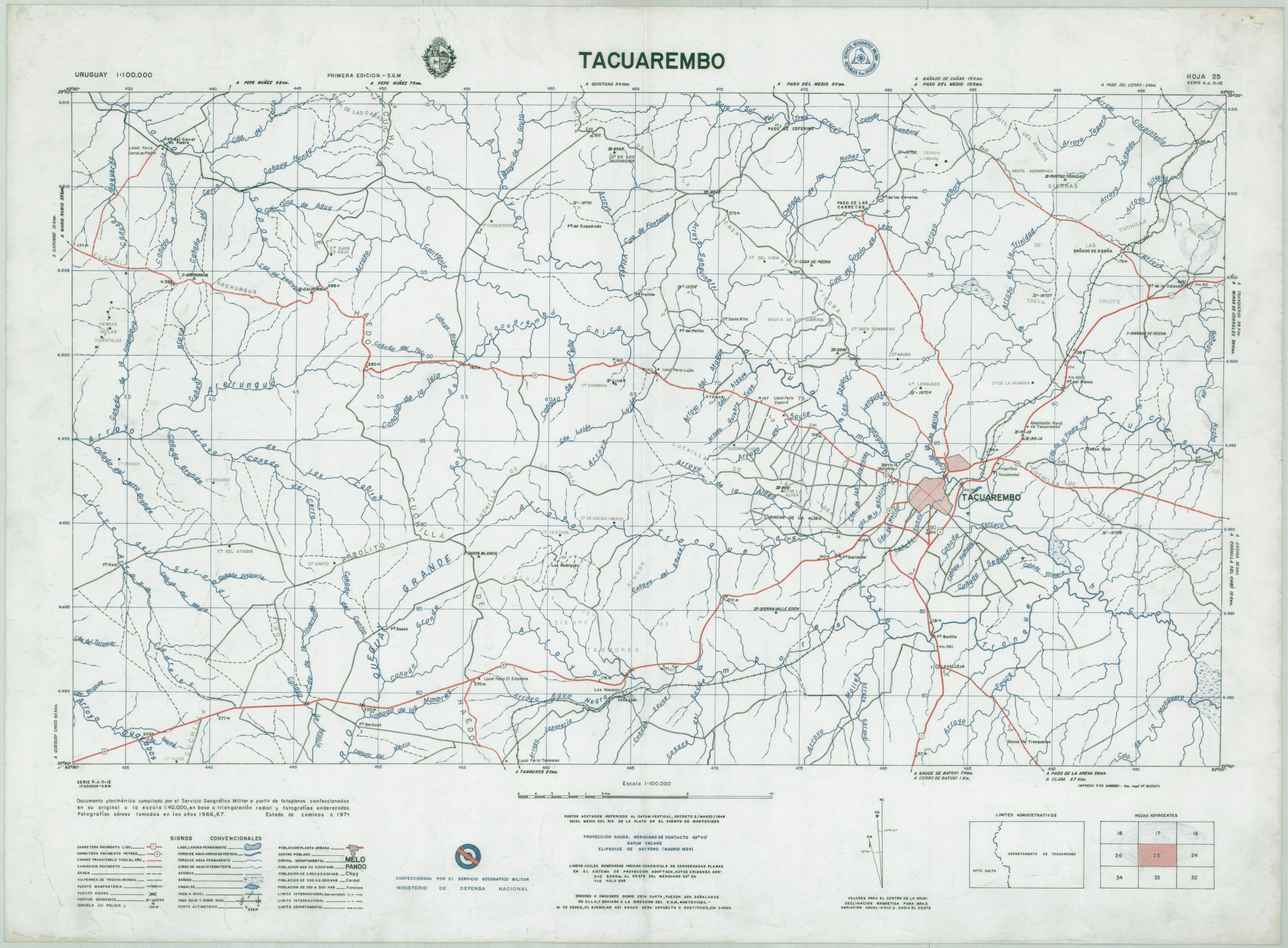
| dc.coverage.spatial | Tacuarembó (Uruguay : Departamento | |
| dc.creator | Uruguay.Ministerio de Defensa Nacional. Servicio Geográfico Militar | |
| dc.date.issued | 1971 | |
| dc.identifier.uri | http://bibliotecadigital.bibna.gub.uy/jspui/handle/123456789/5813 | |
| dc.description | Escala 1:10.000 | |
| dc.description | Hoja 25. Documento Planimétrico compilado por el Servicio Geográfico Militar a partir de fotoplanos | |
| dc.format | image/jpg | |
| dc.format.extent | 2 mapas :col., papel ;74 x 55 cm | |
| dc.publisher | Servicio Geográfico Militar | |
| dc.title | Tacuarembó | |
| dc.type | mapa | |
| Aparece en las colecciones: | Siglo XX (Uruguay - Interior)
|