| Campo DC | Valor | Lengua/Idioma |
|---|
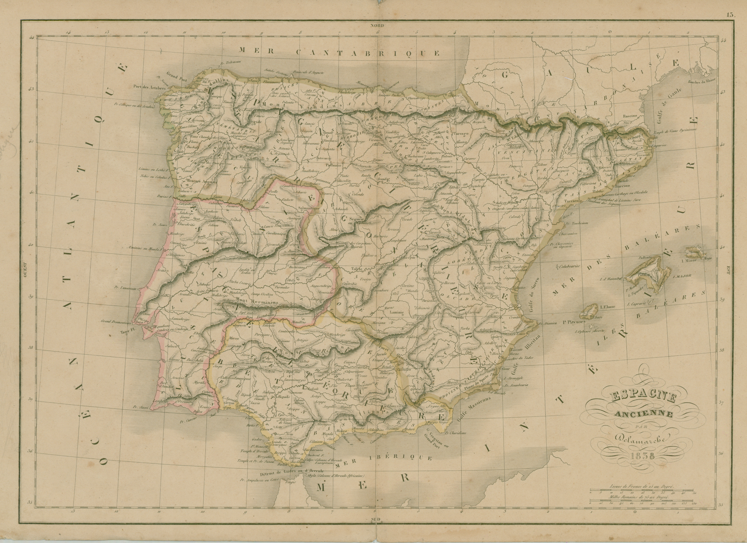
| dc.coverage.spatial | GEOGRAFIA ANTIGUA | - |
| dc.coverage.spatial | España | - |
| dc.creator | Delamarche, A | - |
| dc.date.issued | 1838 | - |
| dc.identifier.uri | http://bibliotecadigital.bibna.gub.uy/jspui/handle/123456789/5875 | - |
| dc.description | Escala en leguas francesas y millas romanas | - |
| dc.format | image/jpg | - |
| dc.format.extent | 1 mapa :col., papel ;47 x 31 cm | - |
| dc.publisher | [s.n.] | - |
| dc.subject | GEOGRAFIA HISTORICA | - |
| dc.title | Espagne ancienne | - |
| dc.type | mapa | - |
| Aparece en las colecciones: | Siglo 19 (Mapas de Europa, Africa, Asia y Oceanía)
|