Registro completo de metadatos
| Campo DC | Valor | Lengua/Idioma |
|---|---|---|
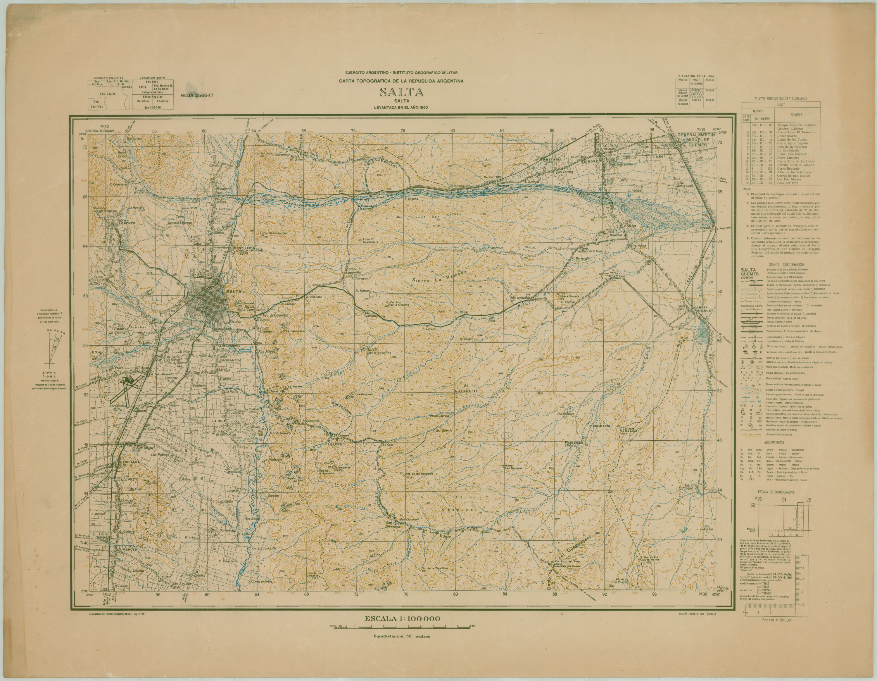
| dc.coverage.spatial | SALTA (ARGENTINA : PROVINCIA) | - |
| dc.creator | Argentina.Instituto Geográfico Militar | - |
| dc.date.issued | 1851 | - |
| dc.identifier.uri | http://bibliotecadigital.bibna.gub.uy/jspui/handle/123456789/6284 | - |
| dc.description | Escala 1:50.000 | - |
| dc.format | image/jpg | - |
| dc.format.extent | 2 planos :col. ;50 x 40 cm | - |
| dc.publisher | IGM | - |
| dc.title | Carta topográfica de la República Argentina | - |
| dc.type | mapa | - |
| Aparece en las colecciones: | Siglo 19 (Río de la Plata) | |
| Fichero | I.00.722.G.5353.S3.1851.I5.jpg |
| Tamaño | 1,49 MB |
| Formato | JPEG |
| Licencia | Abrir | Fichero | I.00.722.G.5353.S3.1851.I5.original.jpg |
| Tamaño | 60,6 MB |
| Formato | JPEG |
| Licencia | Abrir |
