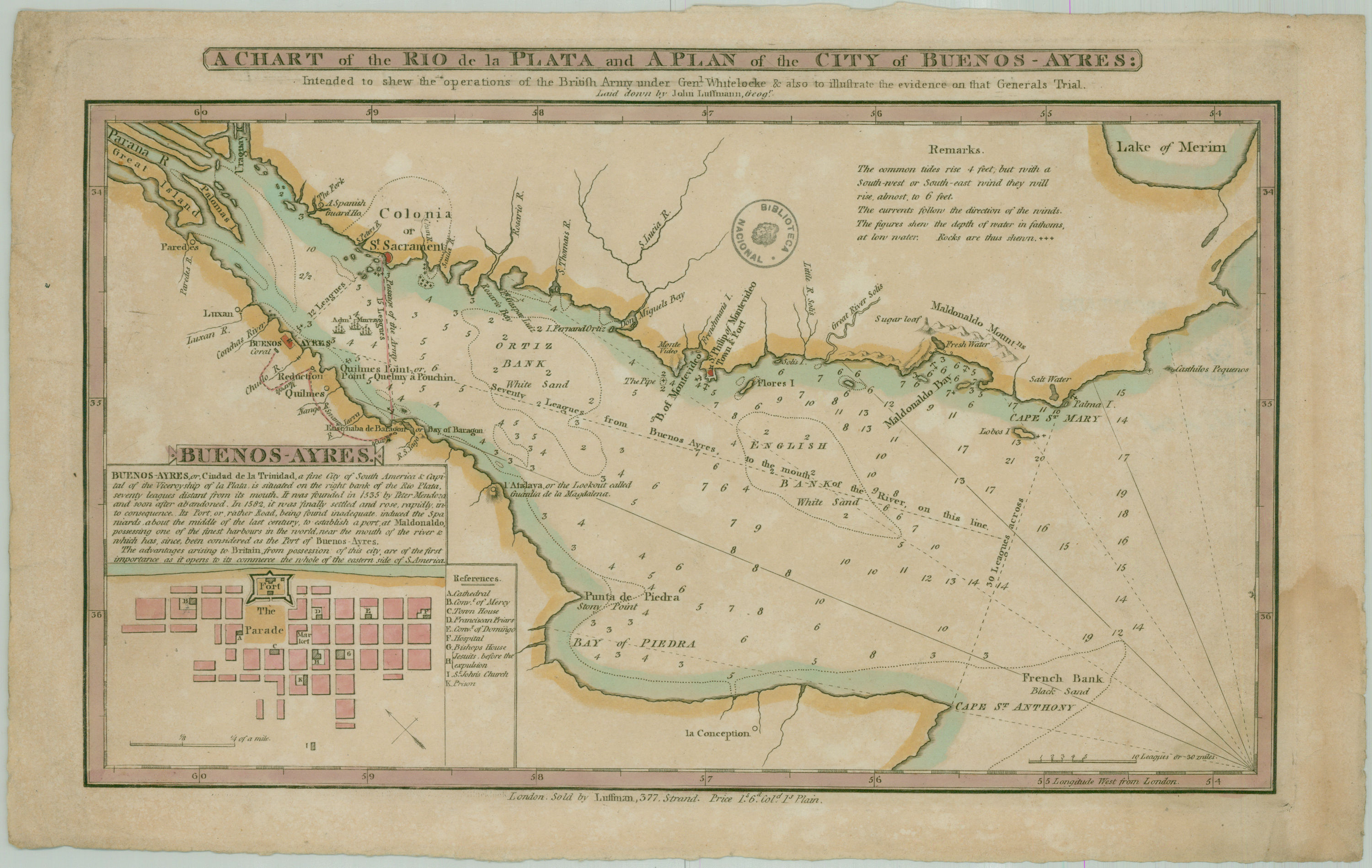
| Título : | A chart of the Rio de la Plata and a plan of the city of Buenos Ayres intended to shew the operations of the British Army under Gen. Whitelocke and also to illustrate the evidence on that Generals Trial. |
| Editorial : | [s.n.] |
| Fecha de publicación : | 1800 |
| Descripción : | Escala 10 leguas o 3 millas En recuadro: Plano de la ciudad de Buenos Aires con referencias |
| Aparece en las colecciones: | Siglo 19 (Río de la Plata) |
| Fichero | I.00.161.G.5340.180-$.jpg |
| Tamaño | 939,78 kB |
| Formato | JPEG |
| Licencia | Abrir |
